
We just launched bikenetkit.org – the platform visualizing our free, open-source Python tools for designing well-connected bicycle infrastructure. The platform covers 412 cities in Europe – Check it out!
After 8 years of researching the topic together with 17 amazing collaborators, and a year of focused programming by Manuel, Michael, and several other NERDS / ex-NERDS including Anastassia, Carlson, Clément, Mariana, and web/viz development by renown Data Design expert Moritz Stefaner / Truth & Beauty as part of the Innovation Explorer grant we won last year and the EU project JUST STREETS, our platform BikeNetKit is now online and ready for use.
See ITU’s promo video:
And our short explainer:
BikeNetKit is a collection of free, open-source Python software tools to help plan and develop bicycle networks, developed collaboratively at github.com/BikeNetKit. It turns our past 8 years of research efforts into polished software tools. Urban planners and citizens can run them on their own city with their own data, exploring many scenarios to make safe cycling happen.
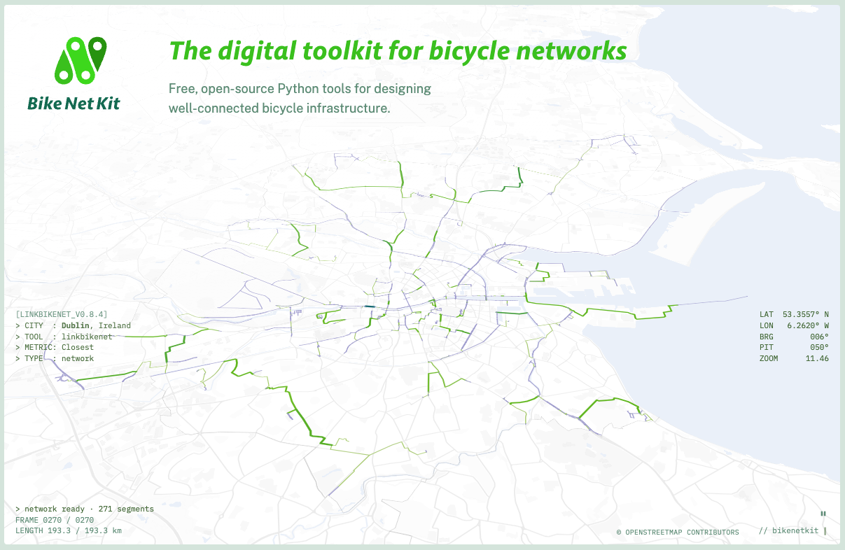
The kit comes for now with 5 tools packaged as Python libraries: GrowBikeNet, LinkBikeNet, FixBikeNet, SortBikeNet, and superblockify. Further, it comes with BikeNetLib which offers general utilities for researching or working with bicycle networks.
For BikeNetLib we have also set up our own overpass server with the added side-effect of facilitating university education for geospatial data science at ITU and elsewhere.
We are happy if BikeNetKit grows into a wider community effort from the bicycle network/mobility/urbanist community. If you would like to contribute, have a look at: https://github.com/BikeNetKit
Even just trying it out and giving us feedback is very helpful. If you like this project, you can help us by following BikeNetKit on LinkedIn, Mastodon, Bluesky, or Youtube, and feel free to tell your urban planners and politicians about it.
Thanks for spreading the word, and enjoy the ride! 🚲