Today we received the happy news that the Danish Ministry of Transport is funding our project Netværksanalyse af den danske cykelinfrastruktur (“Network analysis of the Danish cycling infrastructure”): https://www.trm.dk/nyheder/2021/aftale-om-nye-cykelstier-i-alle-dele-af-landet/
This funding will allow us to hire cycling network and urban planning/spatial data expert Ane Rahbek Vierø for a 3-year PhD on the topic, to start Jan 2022, supervised by Michael Szell. Our bicycle network research so far has focused on urban bicycle networks, so this funding will finally allow us to widen our perspective to the regional and national scale. We are looking forward to welcoming Ane in January and to help improving the (already quite good but certainly not perfect) Danish bicycle network!
In more detail, our plans for this project are the following:
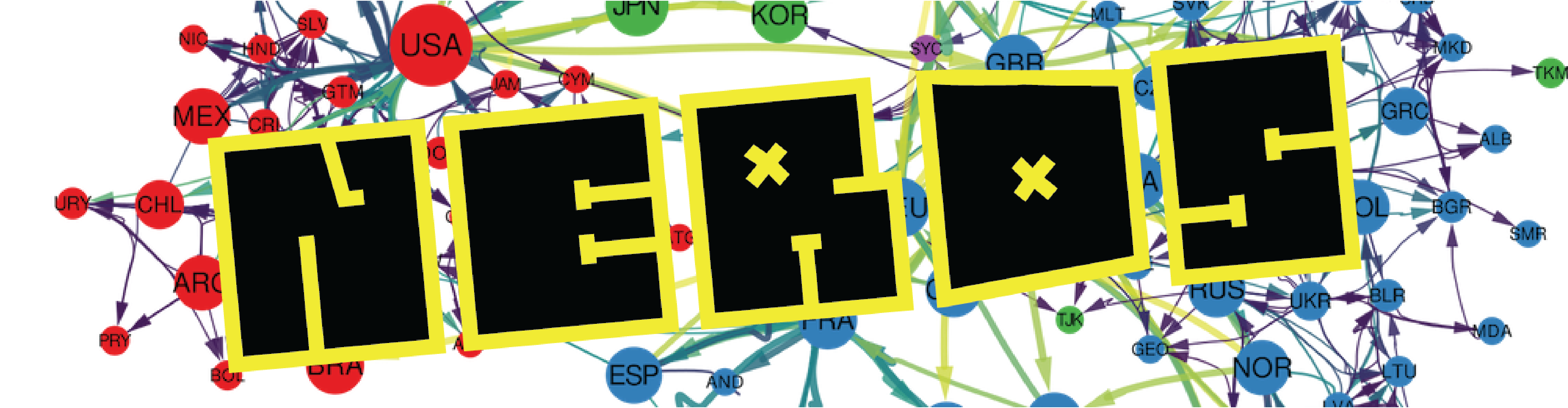
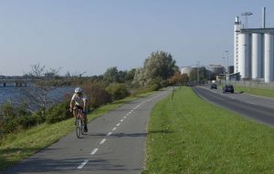
In this research project we will apply state of the art metrics and tools from network analysis on Danish open data bicycle infrastructure networks collected from e.g. OpenStreetMap, and additionally incorporate knowledge from cycling planners and mobility researchers, to develop a scientific, evidence-based framework to suggest where to add new network connections or other interventions for improving sustainable bicycle infrastructure. While there are generally good cycling conditions in Denmark, there are many areas that have a quite poor connectivity. Using access to everyday amenities as a baseline can also show that it is not enough to install bicycle lanes – they need to be in the right location and connect to the right places. This research will explore weighting the network according to different attributes to get a more detailed understanding of how connectivity and accessibility might vary for different types of cyclists (in line with Levels of Traffic Stress). We will also use this weighted network to examine cyclists’ access to everyday amenities and facilities, in order to, for example, identify areas where you cannot comfortably cycle to basic amenities (inspired by the 15-minute city). Further, we will explore the effect of high stress intersections on network connectivity for vulnerable road user demographics such as children, and incorporate the distribution of people and workplaces in the analysis. Finally, we aim to develop an interactive web mapping tool that visualizes the results and has the ability to run analyses based on individual demographic variables or preferences of cyclists.